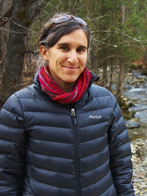
Catherine Frizzle
PhD Candidate
Centre d’applications et de recherche en télédétection
University of Sherbrooke
Supervisor :
Richard Fournier, University of Sherbrooke
Contribution of LiDAR for the quantification of ecological services in support of sustainable forest management
Ecological services (ES) mapping is very useful in demonstrating the potential impacts of human activities on the environment. In forested watersheds, many ES are rendered by the forest, especially the timber supply. However, logging reduces the ecosystem’s ability to provide further ES. The proposed method for developing ecological indicators uses the advantages of the Soil and Water Assessment Tool (SWAT) model and LiDAR data to map the ES of erosion regulation in a watershed managed in a forest environment. The regulation index developed from LiDAR was subsequently used to analyze trade-offs between timber supply ES and other forest-related ES using a spatialized Bayesian network. Our approach allows the assessment of scenarios through which forest managers can apply the precautionary principle that guides the implementation of good practice in forestry, as recommended in forest certifications.

